In 1976, the ultimate plan for 17 Ave SE was to turn it into a six lane thoroughfare: cutting access to side streets, restricting pedestrian movement, and drastically increasing speed limits. Phase I was completed, luckily, Phase II never was.
It's pretty terrifying to imagine what it would be like if Phase II of the City's 1976 plan had ever been executed. It could have destroyed the whole community, or at least any resemblance of the vibrant business district we see today.
Since we began, the BRZ has fought tooth and nail to reject this vision and advocate for a focus instead on people, community, and local businesses.
After decades of thinking, advocating, and collaborating, we finally have it: A statutory plan that is comprehensive, balanced, and people-centric. The International Avenue Area Redevelopment Plan was finalized in 2018, and will be a guiding our urban development for years to come.
For a community to truly thrive, it has be safe, accessible, and vibrant for everyone. And I think we have the plan now that can make that a reality.
Check out the full International Avenue Area Redevelopment Plan (2018).

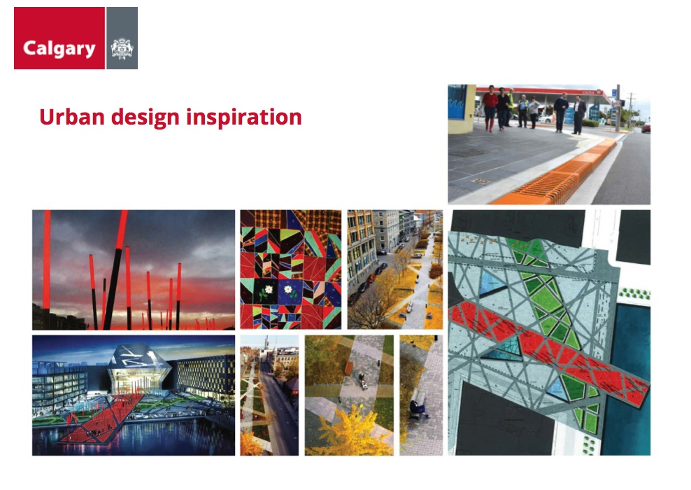
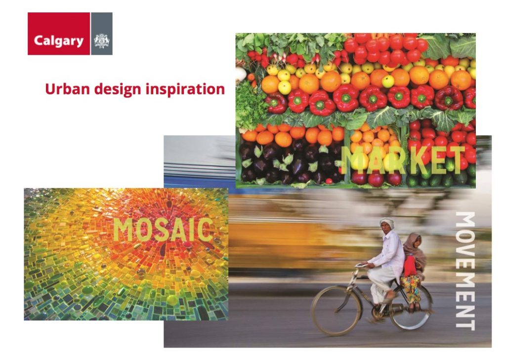
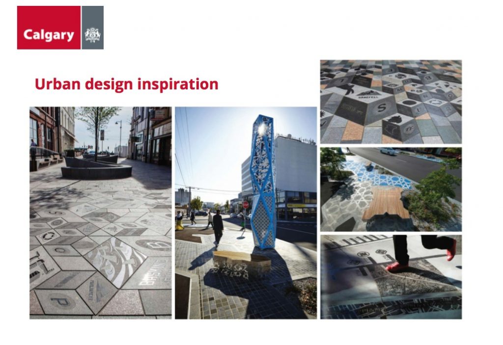
Urban Design Inspiration
The History of the International Avenue Regeneration
Introduction
Throughout the decades, a number of planning documents have been made for International Avenue and its adjoining communities. These documents have varied in their scope, purpose, and regulatory power, but all have had significant impacts on the area. The BRZ has been an instrumental player in guiding this development towards urbanism for the people.
Let us guide you through a brief history.
And/or check out the story as reported by The Sprawl, a Calgary-based pop-up journalism group.

1976: The City Plans for an Age of Asphalt
The CALTS Functional Planning Report was completed by the City of Calgary transportation department in 1976. This was a response to a previous lack of planning that was causing congestion and unsafe conditions. The plan called for two phases, but only the first was completed. The first phase was for four lanes with dedicated left-turn lanes. The second phase was for six lanes, and other changes, which would have made 17 Ave SE relatively similar to Macleod Trail.
Being only a transportation plan, the overwhelming focus was on improving traffic flows for cars: not community, local business, or other forms of transportation. For many years sidewalk and other improvements were neglected because Phase II was considered impending, so why build anything if it would only be temporary? The legacy of this plan continues: many residential roads are still blocked when they used to connect to the Avenue.


1993: The BRZ is Born
Led by a board of business members and Executive Director Alison Karim-Mcswiney, the BRZ was (and still is) a self-funded non-profit striving to support business and community along International Avenue: representing over 400 businesses today.
1995: The BRZ Brings a New Vision
In rejection to the 1976 CALTS plan, the BRZ immediately began to research what the community wanted, and investigate a way forward. To achieve this, the BRZ commissioned Wiseman and Associates to develop our Vision for Renewal and Detailed Streetscape Plan. Much more than just a transportation plan, the documents were about how to build an urban destination bustling with life.
Unfortunately, these plans were perhaps too ahead of their time, and were not accepted by the City of Calgary.


1996-2000s: One Improvement at a Time
Our plan rejected, we had to be resilient. Without being able to implement sweeping improvements, we had to work site by site. One project was to "Put the Forest Back in Forest Lawn," where we planted more than 300 trees. Our innovation of digging deeper pits of soil for the trees, their longevity was ensured: a practice now adopted by the City of Calgary.
We also set to work with planters, banners, art, public space improvements, cleaning, safety improvements, and community building: duties we still continue to this day.

Before

After

Before

After
2003-2005: The International Avenue Design Initiative
Starting in 2003, a partnership was made with the University of Calgary's Faculty of Environmental Design (Now the School of Architecture, Planning and Landscape). There was a recognition of the ongoing need for a more comprehensive, updated, research-focused corridor study for International Avenue. The award-winning document produced, Envisioning International Avenue, used academic methods and principles of new urbanism.
Principles included:
- Mixed-use development
- Multi-modal transportation
- Walkability
- Public space
- Urban vegetation
And so, the BRZ advocated this plan to the City.
")

2007-2010: The City is Inspired
Building on the work done by the University of Calgary, the City of Calgary's Land Use Planning and Policy team created the Southeast 17 Corridor: Land Use and Urban Design Concept. Although the content and principles were positive steps forward, it was only a guiding document. In practice, this meant that it was often ineffective: it had no teeth. And so, the BRZ advocated again for more.


2014-2018: Huge Improvements and Bus Rapid Transit
Recognizing the severe underinvestment east Calgary was receiving compared to west Calgary, $176 million was dedicated to 17 Ave SE. With the development of a state-of-the-art Bus Rapid Transit, MAX Purple, the time was ripe to bring our sidewalks into the 21st century: expanding them to 10 feet wide and fully accessible.
2018: After 40 Years - The Document We've Been Waiting For
Made official in December 2018, the International Avenue Area Redevelopment Plan is a statutory document: making it the law of the land. Building on the decades of work preceding it, this document will truly help us realize our vision for a bustling, safe, accessible, and vibrant business and social community.
Included are plans for:
- Land use
- Urban design
- Community amenities
- Open space
- Mobility
And we will use this document to continue our advocacy for positive, mixed, diverse, and sustainable uses along International Avenue for years to come.
![International Avenue Area Redevelopment Plan (2018). City of Calgary [Land use and Planning].](https://intlave.ca/wp-content/uploads/2019/08/Screen-Shot-2019-08-03-at-12.34.04-PM.png "International Avenue Area Redevelopment Plan")
All the recent things we've worked on with the City: colour-rich urban design, pedestrian-friendly sidewalks, incorporating local art... We're proud of these changes, but cities are never finished, and neither are we.
For academic or personal inquiries about the historical planning documents pertaining to International Avenue, please contact us.